Smart drone inspection gives rapid assessment of condition of groynes
It took some time for the weather conditions to settle and for the water to reach the ideal level, but that happened July 2025: time for the annual drone inspection of groynes in the Upper Rhine and Waal.
There are thousands of groynes, and they were literally all pictured. What does this kind of drone inspection look like, and what does it tell us? We asked Bo Weiland of Rijkswaterstaat and Sandra Bleuel of Heijmans.
Stone dams
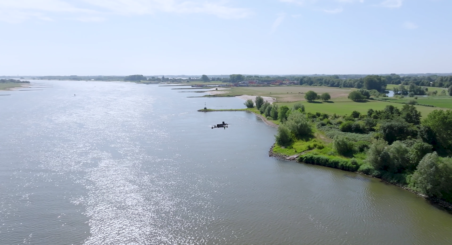
Groynes might not be particularly obvious, but the stone dams are essential to the stream bed. They force the water into the middle of the river, so the flow rate there increases and the river depth remains constant. 'That is important for shipping,' knows Weiland, the coordinating technical manager. 'But groynes also counteract riverbank erosion, for instance, so they help to prevent flooding.’
Experience with drone inspections
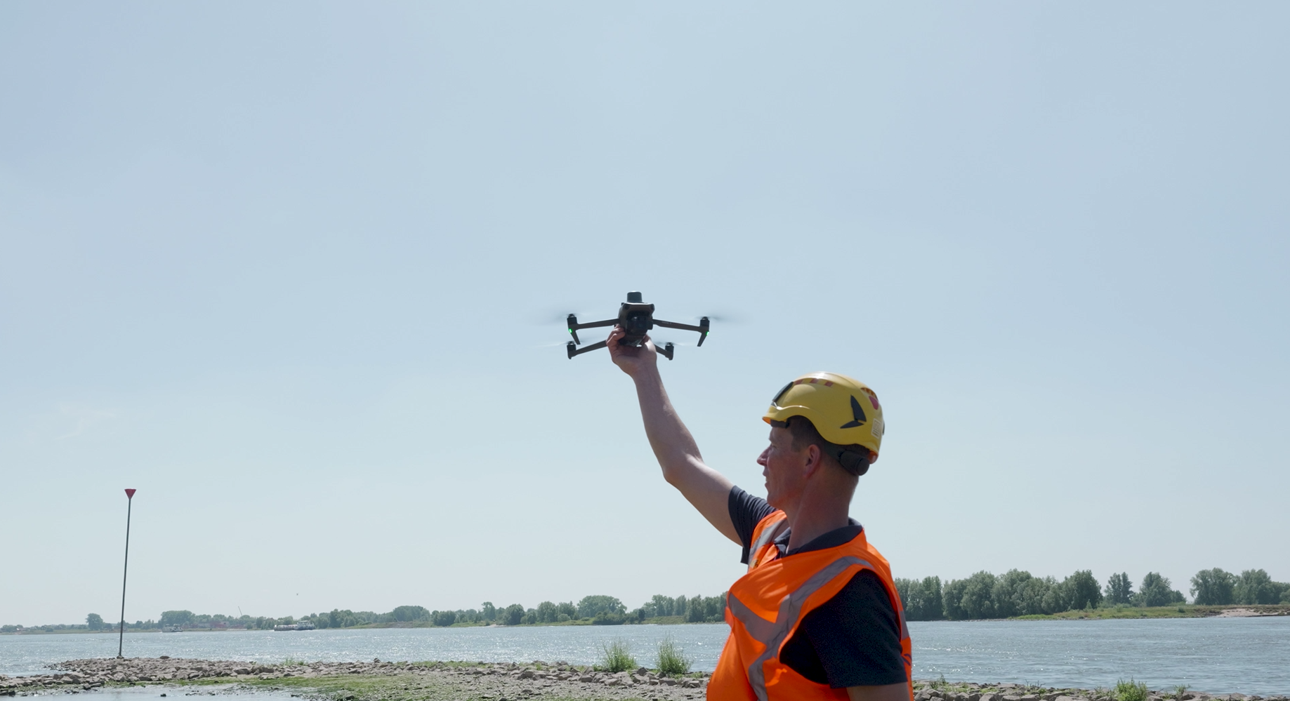
It is important to ensure that the groynes are in good condition. 'That is why we check that no rocks have moved and what condition the vegetation is in, so that we can decide whether the maintenance regime needs to be changed,' says Weiland. Contractor Heijmans is one of Rijkswaterstaat's standing partners for shipping lane maintenance in the east of the Netherlands and carries out the inspections. That is done with drones. 'We have plenty experience of that,' says project coordinator Sandra Bleuel of Heijmans.
190 kilometres
Bleuel explains that it is no small job: 'We inspected the entire stretch between Gorinchem and the German border. If you add together the distance on both banks, the total is somewhere between 180 and 190 km. The drone did this in around 30 days.'
'With a drone, you can take high-quality images of all the groynes in the area more quickly,' says Weiland. What a drone can do in the space of a few minutes would certainly take an inspector on foot, working from a boat, a couple of hours, depending on how difficult or easy it is to reach the groyne in question.
Check-list
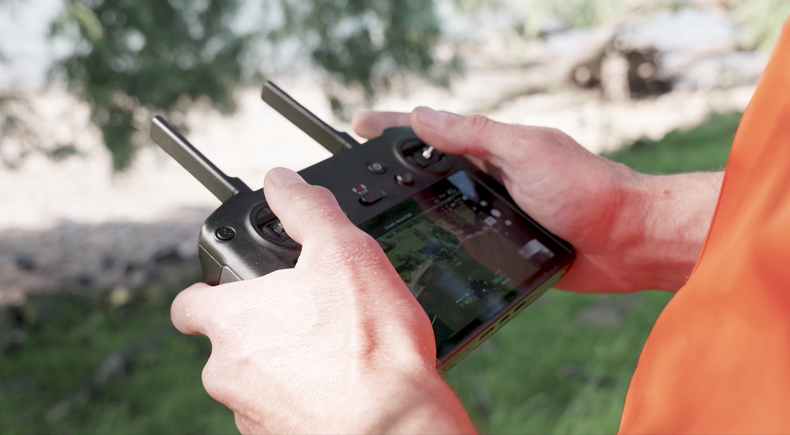
'We had to prepare thoroughly for this project,' explains Bleuel. There is an extensive check-list to go through. From practical issues (is the battery fully charged?) to weather conditions. 'High winds have an impact on drone stability: the pictures a drone takes might be blurry.' Water levels are also an important factor. 'It seems obvious that groynes must be above the surface of the water, otherwise they'd be invisible.'
Heijmans must also meet legal requirements. For instance, airborne drones may not be deployed independently. 'A pilot must always be able to see the drone in flight and be qualified to fly drones,' says Weiland. 'Flying is not permitted everywhere,' he continues. 'For instance, there's a no-fly zone above protected natural areas and military training grounds. What's more, pilots must respect people's privacy.'
From pictures to plans
Now that all the images have been collected, it's time to analyse them. 'That takes about one month,' says Bleuel. Then we'll report the results to Rijkswaterstaat, subject to the terms of NEN 2767.' That is the Dutch Standard for evaluating the state of structures and installations (in this case the condition of groynes and any defects) in a uniform manner. 'We receive tables with condition scores for each site, which we use to set priorities and make a targeted maintenance plan,' adds Weiland.
Increasingly important
They cannot envisage a future without drone inspections. 'It's really good equipment,' believes Weiland. 'You can reach places that would otherwise be difficult to access. I see drone inspections as a smart, safe way of quickly getting an idea of where groyne maintenance is needed. They will continue to be important in the future, when we might have greater risk of flooding and well-functioning groynes become even more essential for our safety.'
Using drones
Rijkswaterstaat has long been using drones and has had its own drone team since 2020. It is made up of 23 certified pilots. They are generally called upon to identify incidents involving obstructions and road closures. Pictures from the air give more rapid and better insight into the situation than from the ground, so it is clear what action needs to be taken at an earlier point. Drone flights for inspections on bridges, locks and groynes, for instance, are carried out by commercial parties.