
Corridor management and smart mobility
Corridor management and smart mobility are interrelated disciplines focused on improving transport systems through cooperation and technological advancement.
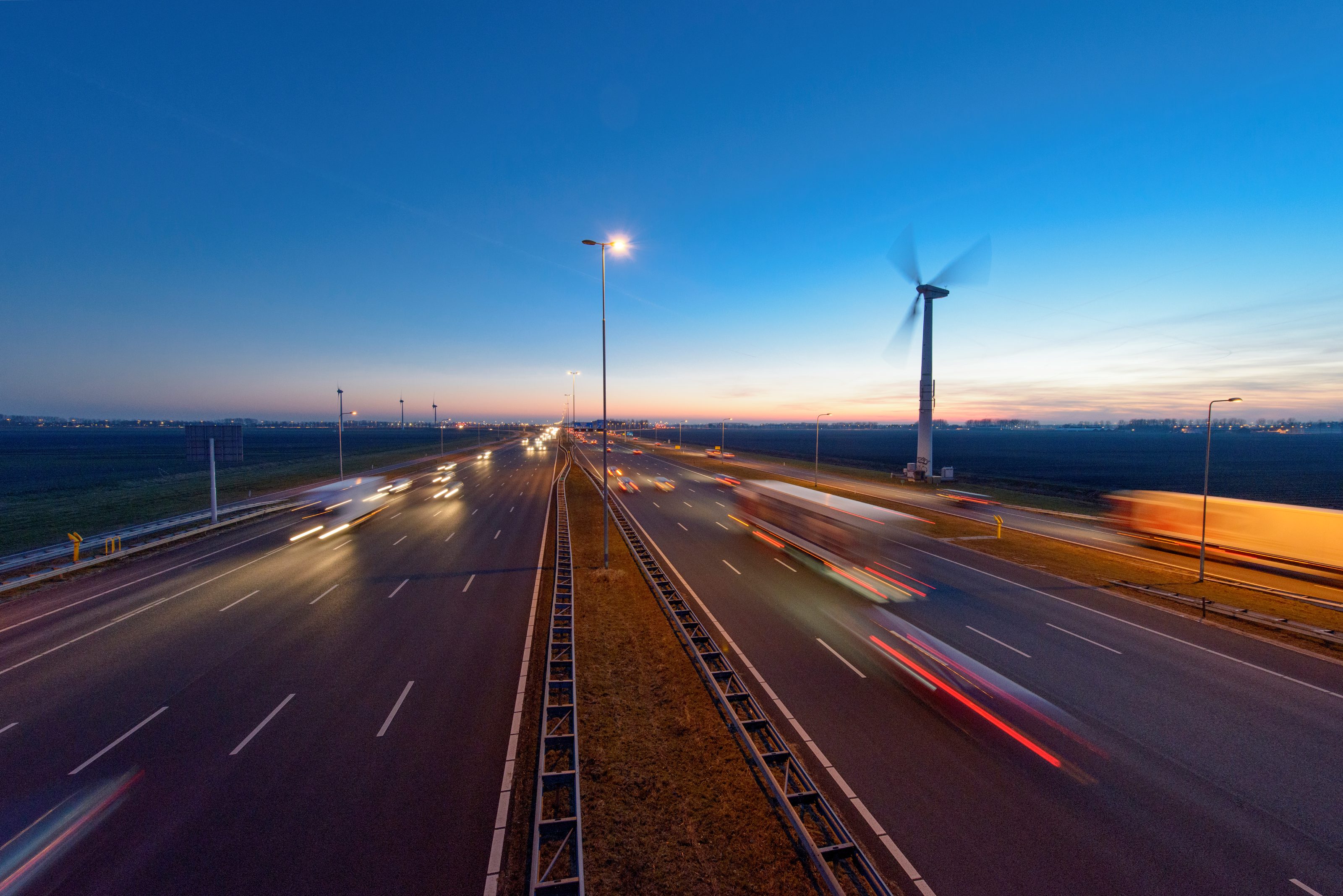
At its core, corridor management operates at a tactical level, overseeing day-to-day operations, particularly on major transport routes such as the Rhine River. It involves cooperation at the national and international levels to optimise transport corridors.
Smart mobility, on the other hand, focuses on the use of new technologies to improve transport. European projects often frame these advances along corridors, linking several countries to test and implement new technological solutions. One example is the testing of new technologies on routes connecting Rotterdam, Breda and on to France.
By combining operational strategy and technological advances, these practices aim to create efficient, sustainable transport systems.
Corridor management and smart mobility: the key to future road safety
Corridor management and smart mobility are vital for Rijkswaterstaat and the Netherlands as the country aims to improve road safety, efficiency and sustainability. With automation and connectivity at the forefront, these initiatives ensure smoother vehicle-to-vehicle and vehicle-to-infrastructure interactions.
Advanced data flows alert drivers or automated vehicles to potential hazards, reducing the risk of high-speed collisions. This is particularly true for trucks, which are frequently involved in roadworks accidents. From a sustainability perspective, smart mobility supports decarbonisation by helping truckers identify available parking or electric charging stations, streamlining freight transport.
Furthermore, implementing these strategies requires close collaboration with vehicle manufacturers and compliance with European regulations, marking a shift towards system innovations that prioritise comprehensive cooperation.
Rijkswaterstaat’s vision of digital motorways
Rijkswaterstaat’s role in corridor management and smart mobility is characterised by its unique perspective as a road authority. In particular, Rijkswaterstaat focuses on the overall functioning and safety of the entire transport network, rather than on the performance of individual vehicles.
This overarching view ensures that the public interest is represented, with priority given to the provision of a smooth, safe and efficient motorway network. Rijkswaterstaat has more than a 100 years of experience in creating optimal conditions for the human driver.
As such, we have unparalleled knowledge of how traffic works, the interplay between digital and physical infrastructure and the impending wave of digitalisation. This puts us at the forefront of preparing for future developments in transport
Projects
Discover the international projects Rijkswaterstaat is working on within the field of corridor management and smart mobility.


News


Want to know more?
Get in touch with Rijkswaterstaat’s team of experts - whether you’re an international professional, a member of the press or just have a question.