Water Management Centre the Netherlands in action during a series of storms on the Iberian Peninsula
At the end of January, large parts of Europe were hit by persistent rainfall. In Spain and Portugal, in particular, the ground became saturated and rivers began to rise. ‘Within a few days, the number of warnings rose to around 240, which is about five times the usual level,’ says Eric Sprokkereef of the Water Management Centre the Netherlands (WMCN). ‘This surge was mainly driven by developments in Spain and Portugal.’
For the hydrologists at the WMCN, the sudden increase required immediate upscaling. While rain continued to fall across southern Europe, staff began early-morning assessments of new model runs and incoming reports from across the continent. Each signal had to be carefully weighed: was it strong enough to justify issuing a warning for other countries as well?
Water Management Centre the Netherlands
Water management in the Netherlands is highly complex. Large water systems, small streams and even ditches are all interconnected. The WMCN acts as the national hub for coordination and information-sharing in water management and shipping, both domestically and internationally.
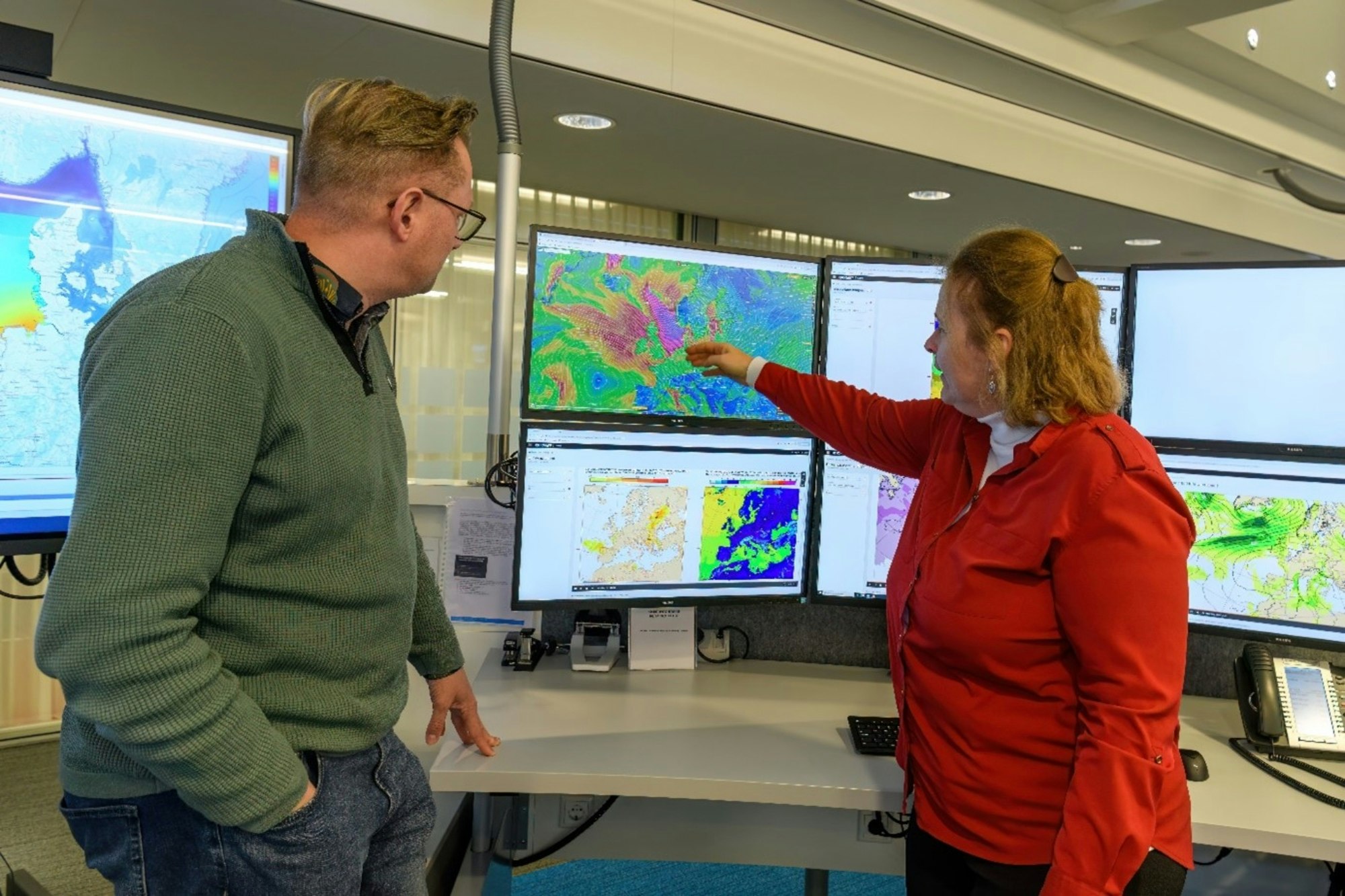
Working together under time pressure
Within the European Flood Awareness System (EFAS), specialists assess the likelihood of high water levels on major European rivers twice a day. The first bout of heavy rainfall was triggered by Storm Kristin, followed by a succession of low-pressure systems moving across the Iberian Peninsula. In the weeks that followed, Storms Leonardo and Marta brought continued rainfall and further increases in river discharge.
As a result, the situation evolved rapidly. Additional analyses, consultations and checks were needed to maintain a clear and up-to-date picture. ‘Warnings need to be ready by 8:30 in the morning,’ Eric explains. ‘During this period, colleagues were sometimes working on their laptops at five o'clock onwards to assess everything in time.’ This required extra staffing and constant switching between new data, model outputs and international coordination.
Eric describes the situation as exceptional. ‘On 24 January, we issued warnings for all major rivers in Portugal and around 90% of rivers in Spain. Extreme events usually occur locally. In nearly 15 years of this work, we have never seen almost two entire countries affected at the same time.’
Work across borders
The EFAS warning system relies on close international cooperation. Data are collected in countries such as Spain and Germany, modelling is carried out in England, and warnings are issued by an international team in which the Netherlands plays a key role.
The WMCN is part of the consortium responsible for EFAS’s operational activities. Through this role, Rijkswaterstaat WMCN continues to build experience in creating flood forecasts (based on probability or probability calculations). This international work strengthens the team’s expertise and contributes directly to the quality of the national crisis organisation.
The WMCN issues warnings for large parts of Western Europe, including France, Germany, the United Kingdom and the Benelux countries. It also advises European partners on accessing satellite imagery of potentially affected areas, enabling countries to verify whether model projections correspond with conditions on the ground.
Learning from extreme events
Although the storms mainly affected Spain and Portugal, monitoring and analysing such extreme events provides valuable lessons. ‘By studying these situations at a European scale, we continuously improve our knowledge and systems,’ Eric says. ‘This directly benefits us at a national level.’ Tracking large-scale weather systems and river responses across Europe helps hydrologists sharpen their interpretation of complex model results and assess risks under intense time pressure.
The work carried out during this storm period shows that water safety does not stop at national borders. While extreme weather moved across Europe, intensive cooperation behind the scenes helped identify risks as early as possible. This work often goes unnoticed, but it plays a vital role in ensuring that both Europe and the Netherlands are better prepared for high water levels.