Oil in Bonaire: what is Rijkswaterstaat doing about it?
Oil is washing onto the shores of Bonaire. The oil in question could be from the vessel that capsized off Trinidad and Tobago on 7 February 2024. Some of that was carried by the current towards the coast of Bonaire.
Rijkswaterstaat and its partners (in the area) have been keeping a close eye on the situation from the start. We use satellite images, oil-slick drift models, and aeroplane and helicopter patrols to track the potential course of the slick so that we can take action in good time. You can read how we all do that in this article.
Even though Bonaire is around 800 km from Trinidad and Tobago, the Caribbean Netherlands Disaster Control Team, the National Pollution Coordinating Committee (LCM) and Rijkswaterstaat's Hydro Meteo Centre (HMC) took immediate action.
In addition to the North Sea and the Wadden Sea, Rijkswaterstaat also has responsibility for the quality of sea water in the Caribbean Netherlands.
Marco de Bruijn of the Disaster Control Team: 'Straight away, we started monitoring the path the oil was following, and where this might lead the slick. That information enabled the local authorities to take action in good time.'
Monitoring: how it works
Monitoring is not something we do alone. The Harbour Master at Bonaire, the Dutch Caribbean Coast Guard and the European Maritime Safety Agency (EMSA) are permanent collaborative partners.
De Bruijn: 'I requested satellite images from EMSA, which allowed us to follow anomalies on the water surface. The LCM uses these satellite images to make so-called 'oil-slick drift models'. We use those to predict where the oil might end up.'
As with weather forecasting, the LCM continuously adjusts these predictions based on the latest data, including the latest EMSA satellite images and flow pattern (and other) data collected by the HMC around the clock.
3 anomalies
De Bruijn: 'We could pick out 3 anomalies on the satellite images, and we kept an eye on them. An anomaly of that kind might well be oil, but you can't be sure from a satellite image. You really have to go and observe in the place itself. We share all the information that we gather with the local authorities.'
'When the patches appeared in the vicinity of Bonaire's territorial waters, the Coast Guard aircraft went to inspect the situation. The Bonaire Harbour Master also decided to position oil screens at Lac Bay as a precaution, to protect an area of special natural interest.'
During their inspection, on 23 February 2024, the Coast Guard aircraft spotted 2 patches with a film of mineral oil. These patches passed to the north of Bonaire on Saturday, 24 February, heading north-west, after which they appeared to evaporate.
Later that day, the Coast Guard once again carried out an inspection by helicopter. At that point, no oil could be detected to the east of the island or on the coastline. Neither did satellite images show any anomalies in the vicinity of or heading towards Bonaire. It seemed that Bonaire would not be affected by the oil slick.
Oil after all
However, on the morning of Monday, 26 February 2024, some traces of oil and tar balls were washed up at Sorobon (Lac Bay) and on Bonaire's east coast.
De Bruijn: 'In the night from Sunday to Monday, we saw a slight anomaly on the latest satellite images, but it was already very close to the coastline.'
'The oil was already washing onto the shore. The Harbour Master of Bonaire and the Coast Guard took immediate action, but it's never possible to completely stop oil from washing onto the beaches. Fortunately, the vulnerable nature areas had been shielded as a precaution.'
In all probability, the traces of oil that washed up were previously concealed under water, which is why the satellite images hadn't revealed anything until then.
De Bruijn: 'Monday morning might seem late, but unfortunately it's not possible to take satellite images more frequently. A satellite can only generate an image when it passes the precise spot. That is a maximum of once per day.'
'What's more, it's not possible to see everything on the image. You always have to verify what you can see on the image at that particular place but the Coast Guard couldn't see anything any earlier, either.'
Tackling oil
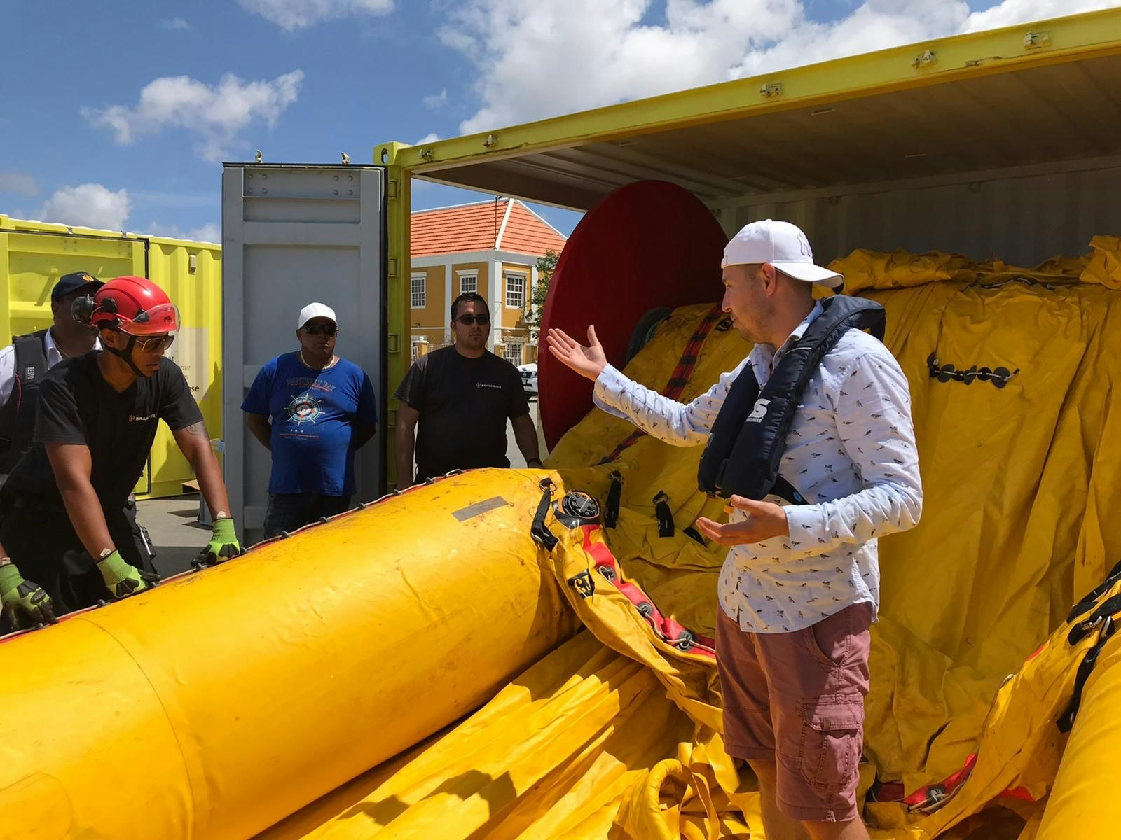
Rijkswaterstaat's role is to provide support with information, knowledge and equipment. In that way, Rijkswaterstaat can ensure that Bonaire has sufficient equipment to tackle oil spills. We also regularly organise exercises aimed at tackling oil spills with the local authorities. The last such exercises were in November 2023 and January of this year.
De Bruijn: 'The equipment is always ready and waiting on the islands, and could now also be deployed in good time by the local authorities. To support them, Rijkswaterstaat sends an expert in tackling oil spills but, ultimately, the local authorities are responsible for efforts to control the oil. And they know what they're doing.'
For instance, it is not feasible to shield the entire coastline. For that reason the choice is to protect the vulnerable nature areas. The traces of oil are now washing up on beaches where less damage can be caused. Nature management organisation STINAPA (Stichting Natuur Parken) and other emergency services are engaged in the oil clean up.
De Bruijn: 'Everyone has his or her own role and just gets on with it. Naturally, we are continuing to monitor the situation. In that way, we try to keep the damage to the minimum.'